SEMINARIO
29/05 – The solar city: PV potential in the urban environment
Avviso di Seminario
MARTEDI’ 29 MAGGIO 2018 ore 10:00 AULA GALILEO
The solar city: PV potential in the urban environment
Miguel Centeno Brito
Faculty of Sciences of the University of Lisbon, Portugal
Contemporary urban landscapes with high rising buildings offer relatively little room for solar energy applications on roofs. This talk will explore the potential of extending solar PV to building façades, discussing its potential, and how to assess it, and how to get the most out of it. Solar potential on façades is assessed using 3D modelling based on LiDAR data. Results show that façades can double the solar potential of a modern city, in spite of lower irradiation and hence higher cost. This leads to the discussion of how to maximize PV on vertical features but also on the possibility to better adjust supply and demand in residential buildings with PV systems, in particular for solar communities.
CV of Miguel Centeno Brito
Miguel is a physicist with PhD from University of Oxford, UK, currently Assistant Professor in the Earth Science and Energy Department of the Faculty of Sciences of the University of Lisbon. With 20 years of experience with solar power, he has worked on material sciences for solar cells and, more recently, on solar resource assessment and forecasting, PV performance, PV systems in the urban environment, solar electrification for remote areas and the role of solar energy in future energy scenarios. He has about 40 papers in international scientific journals. He is the leader of the Energy Transition Group and Board Member of the Instituto Dom Luis, Associated Research Centre of the University of Lisbon.
Look at ESTER web site for more info
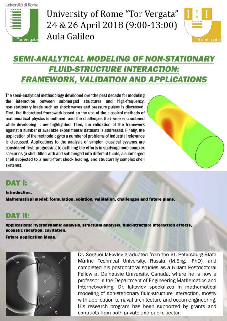
24 e 26/04: seminario “Semi-analytical modeling of non-stationary fluid-structure interaction: framework, validation and applications”
18/04 – seminario “Remote sensing data in agrometeorology: some examples of applications at FAO”
AVVISO DI SEMINARIO – prof. Fabio Del Frate
Università di Roma “Tor Vergata” – Macroarea di Ingegneria – Aula C3 Edificio Nuovo Didattica
Mercoledì 18 Aprile 2018 – Ore 16:00
Titolo: Remote sensing data in agrometeorology: Some examples of applications at FAO
Abstract:
Remote sensing data are a powerful source of information for agrometeorology, providing high spatial and temporal resolution information about land surfaces characteristics. In particular, the NDVI and NDWI indices are powerful proxies of plant health, biomass production and soil moisture. The information provided is helpful in understanding and modeling biological processes driven by weather and climate parameters, key goals in agrometeorlogy. Nevertheless, the derived models should be calibrated and validated against ground-level data, which is sometimes a challenging task. The talk will illustrate some examples of the use of remote sensing data in the context of FAO projects to support governmental institutions in the implementation or improvement of agrometeorological services and early warning systems.
Speaker: Dr. Raffaella Vuolo, FAO, Climate and Environmental Division, Adaptation Team.
Raffaella Vuolo has studied atmospheric physics at University of Cagliari and Ecole Polytechnique of Paris and carried out research activities in various institutes in France and Italy, where her main work areas were climate and atmospheric transport modeling and agrometeorological field measurements. She now works with FAO on the use of weather and climate information for agriculture, supporting the development and implementation in developing countries of a climate impact assessment tool, MOSAICC. She also contributes to the crop, weather and climate data collection, quality assessment and analysis through exchanges, trainings and technical support with local experts in the countries.


