Customize Consent Preferences

We use cookies to help you navigate efficiently and perform certain functions. You will find detailed information about all cookies under each consent category below.

The cookies that are categorized as "Necessary" are stored on your browser as they are essential for enabling the basic functionalities of the site. ... 

Always Active

Necessary cookies are required to enable the basic features of this site, such as providing secure log-in or adjusting your consent preferences. These cookies do not store any personally identifiable data.

No cookies to display.

Functional cookies help perform certain functionalities like sharing the content of the website on social media platforms, collecting feedback, and other third-party features.

No cookies to display.

Analytical cookies are used to understand how visitors interact with the website. These cookies help provide information on metrics such as the number of visitors, bounce rate, traffic source, etc.

No cookies to display.

Performance cookies are used to understand and analyze the key performance indexes of the website which helps in delivering a better user experience for the visitors.

No cookies to display.

Advertisement cookies are used to provide visitors with customized advertisements based on the pages you visited previously and to analyze the effectiveness of the ad campaigns.

No cookies to display.

18/04 – seminario “Remote sensing data in agrometeorology: some examples of applications at FAO”

AVVISO DI SEMINARIO – prof. Fabio Del Frate

Università di Roma “Tor Vergata” – Macroarea di Ingegneria – Aula C3 Edificio Nuovo Didattica

Mercoledì 18 Aprile 2018 – Ore 16:00

Titolo: Remote sensing data in agrometeorology: Some examples of applications at FAO

Abstract:

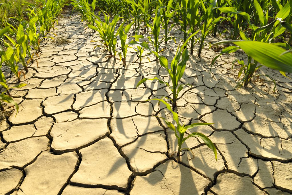
Remote sensing data are a powerful source of information for agrometeorology, providing high spatial and temporal resolution information about land surfaces characteristics. In particular, the NDVI and NDWI indices are powerful proxies of plant health, biomass production and soil moisture. The information provided is helpful in understanding and modeling biological processes driven by weather and climate parameters, key goals in agrometeorlogy. Nevertheless, the derived models should be calibrated and validated against ground-level data, which is sometimes a challenging task. The talk will illustrate some examples of the use of remote sensing data in the context of FAO projects to support governmental institutions in the implementation or improvement of agrometeorological services and early warning systems.

Speaker: Dr. Raffaella Vuolo,  FAO, Climate and Environmental Division, Adaptation Team.

Raffaella Vuolo has studied atmospheric physics at University of Cagliari and Ecole Polytechnique of Paris and carried out research activities in various institutes in France and Italy, where her main work areas were climate and atmospheric transport modeling and agrometeorological field measurements. She now works with FAO on the use of weather and climate information for agriculture, supporting the development and implementation in developing countries of a climate impact assessment tool, MOSAICC. She also contributes to the crop, weather and climate data collection, quality assessment and analysis through exchanges, trainings and technical support with local experts in the countries.

6/04 – CLIMATE IMPACTS ON AGRICULTURE AND FOOD SECURITY

Seminario “CLIMATE IMPACTS ON AGRICULTURE AND FOOD SECURITY: NEEDS FOR ADAPTATION”

Relatore Dr.  Hideki Kanamaru – FAO (Food and Agriculture Organization)

Dove e quando: Giovedì 6-4-2017, ore 16:00, Aula C3 Edificio Didattica – Macroarea di Ingegneria

abstract

Food and Agriculture Organization of the United Nations has been actively working to address the interrelated challenges of achieving global food security, adapting to, and mitigating climate change. The presentation provides an overview of the global issue with a focus on impacts of climate change and climate variability on the agriculture sectors and adaptation planning in developing countries. Ideas for enhancing the use of innovative technologies and of datasets from remote sensing and other sources to fill the information gap in the most vulnerable parts of the world will be solicited.